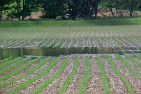
 Keep water from forming a pond
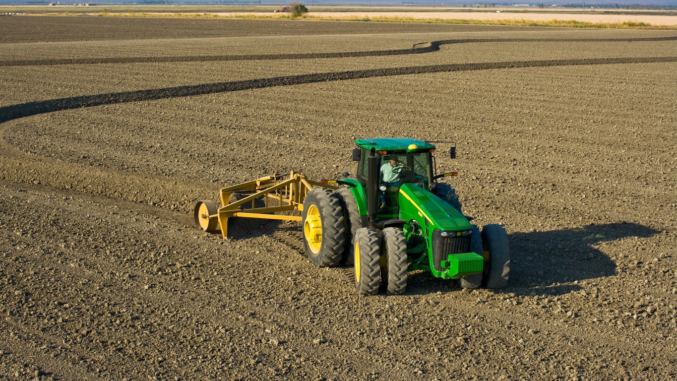
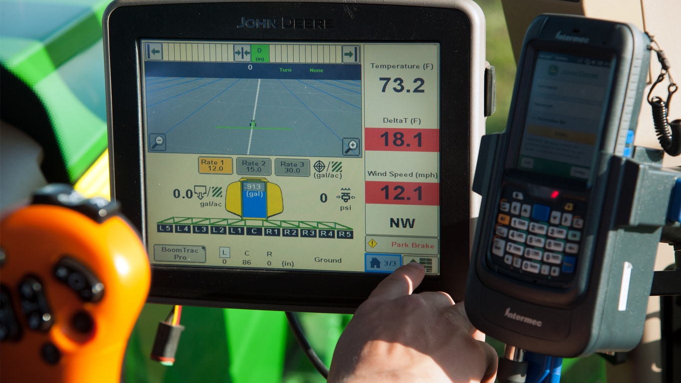
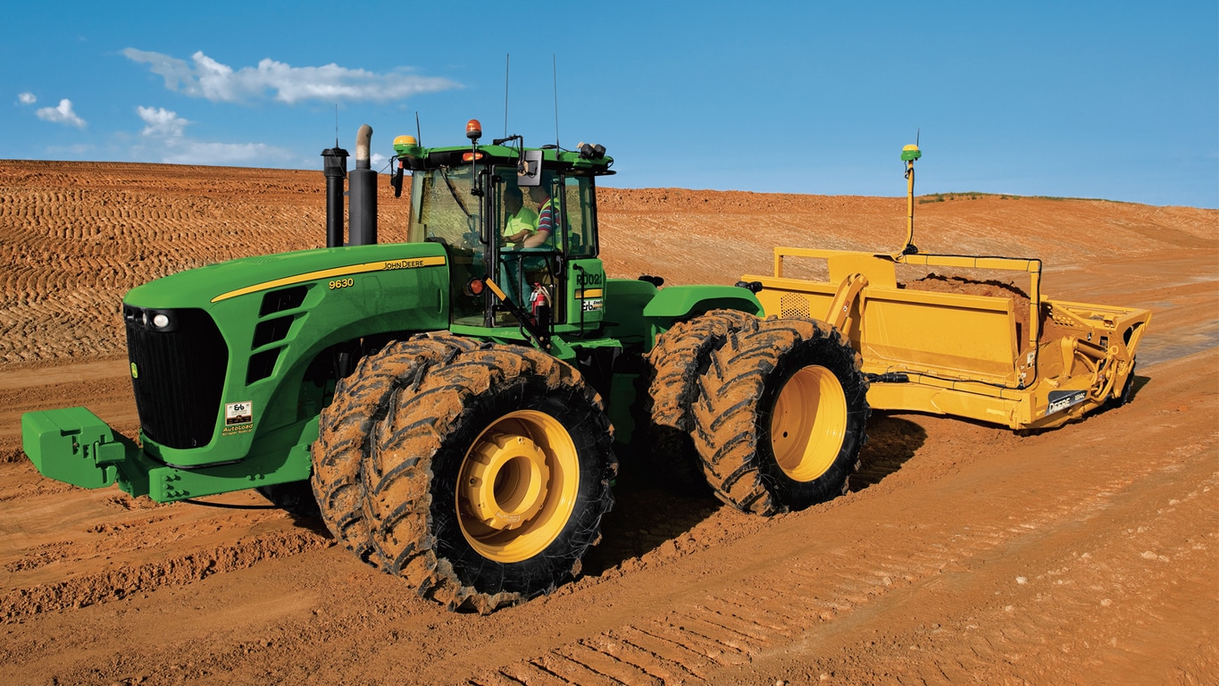
Surface Water Pro™ Plus system for the GreenStar™ 2 2600 and GreenStar 3 2630 Displays take water management to the next level. When added to either a GreenStar 2 2600 or GreenStar 3 2630 Display, Surface Water Pro Plus will open the door for more advanced ditching functions enabling the creation of more precise ditches.
To attain this functionality, a Surface Water Pro Plus activation is required and a second StarFire™ 3000 or StarFire 6000 Receiver will need to be mounted on the implement which must be running at least SF2/SF3, but RTK is highly recommended. The receiver on the tractor may run SF2/SF3; however, RTK is recommended. To ensure the best vertical accuracy, users should run RTK on the implement receiver at a location within 2 km (1.2 miles) of the RTK base station.
Surface Water Pro Plus uses many components that many growers already own, including:
NOTE: See this link for further StarFire 6000 compatibility information.
Four components
Surface Water Pro Plus has four features
-
Survey mode: records elevation for later use
-
Levee mode: records and runs levee tracks
-
Basic ditching mode: run and record ditch tracks
-
Advanced ditching mode: allows users to plan, create, and run ditch tracks
Producers who own Surface Water Pro can get all the benefits of Surface Water Pro Plus with a simple upgrade activation. See a John Deere dealer for details.